Understanding maps is central to your studies of GCSE Geography as they are used to show a variety of different information about the countries of the world. In your exams, you will need to be able to use maps to obtain information to answer some of the questions and you will also need to be able to draw simple maps based on information you are given.
A map is a two-dimensional representation of an area of the three-dimensional surface of the Earth. To make it 2D and also small enough to fit on a sheet of paper, it is drawn to scale. To make it easy to understand, 3D features are added using simplified symbols. Every map has a title, a scale and a list of the symbols (the key) that have been used to make it, alongside the main part of the map. You are expected to know a variety of the symbols used on Ordnance Survey (OS) maps.
These maps were originally created for military use but are now available to everyone. They are particularly useful for people using the countryside (walkers, cyclists, horse riders and so on) as they contain details of roads and other rights of way, natural features and human-made features too.
OS maps are divided into squares by a series of lines known as grid lines. For your GCSE, you need to be able to read OS maps. That means you should be able to give a grid reference for a specific feature and identify specific features from a grid reference that you are given in the question. Ordnance Survey and most other maps are drawn with north at the top, south at the bottom, east on the right and west on the left. When giving a grid reference, the eastings reading comes first and the northings second. Make sure that you revise what these two words mean before your exam!
The scale of a map is the ratio of the size of the map to the size of the area that it represents. One of the common map scales used by the Ordnance Survey is 1:50,000. This means that 1 cm on the map represents 50,000 cm on the ground. There are 100,000 cm in 1 km so on the map, 1 cm represents a real distance of half of a kilometre. This size of map is adequate to help with navigation, but a more useful map is the 1:25,000 series. This is a larger scale map that covers a smaller area but in more detail - it even shows you the boundaries between fields! The confusing thing here is that the number is smaller but we say the scale of the map is larger.
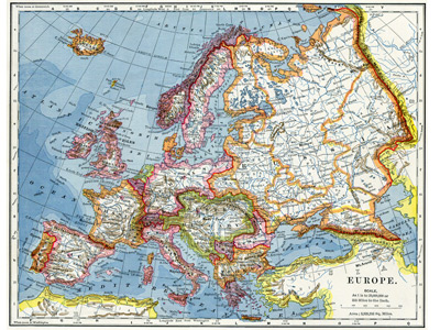
For motorists, this scale of map is too large, unless they are just going a short distance. Cars move a lot faster than pedestrians, cyclists and horse riders which means that they move much further in the same time. Driving from Norwich in East Anglia to Llanfairpwllgwyngyllgogerychwyrndrobwllllantysiliogogogoch in Anglesey would require something like twelve 1:50,000 OS maps which would be expensive and impractical to use. Motorists maps are therefore drawn to a much smaller scale and arranged as pages in an atlas. Many motorists these days rely on a GPS navigational system, however, this does not always take you on the best or most appropriate route e.g. you sometimes see articulated lorries on country lanes that are only just wide enough for them.